
Walking a Simpsonville Street by Address
A sound Simpsonville street search moves from a known address to a county parcel, then outward to the records that describe that parcel. Greenville County’s Real Property Search is the starting point because it makes a street query possible and keeps the tax-year setting visible. The result is not a list of people on the road. It is a set of assessment cards that must be read one parcel at a time. Save the selected tax year with the result, because comparing cards from different years can hide a change in the assessment record.
- Choose the tax year in Greenville County Real Property Search, enter the street in the county’s style, such as Main St, and open the matching property card.
- Record the 13-digit map number without dashes, the situs address, owner field, mailing address, legal description, and any listed deed or sales reference.
- Use the map number in County GIS. Confirm the selected parcel and use its boundary to see how it sits along the road.
- Match the parcel’s legal description to a Register of Deeds instrument. Compare the recording date, book and page or instrument number, and plat reference before accepting a transfer match.
- When the chain reaches the older index path, use the grantor or grantee index to obtain a book and page, then consult the record book, microfilm, or ROD counter.
- For an earlier household clue, ask the South Carolina Room whether the relevant directory year includes a reverse or criss-cross section for that address.
That sequence keeps the stable parcel identifier in the center. A street label, a postal label, and a directory entry can vary by year. The PIN, legal description, and recorded instrument give the stronger comparison points.
Simpsonville Street Directory Property Fields
Greenville County Real Property Search has several ways to reach the same assessment record. Select Tax Year is required before the search starts. Enter Street is useful for a road sequence, while Enter Map No. returns a particular card when GIS has supplied the PIN. Name searches use the owner field in last-name-first form, and subdivision and sales-sheet fields provide other routes. The card can show the parcel identifier, situs, owner, mailing address, legal description or subdivision, assessment values, and selected sales or improvement details.
| County search field | Format or control | Street research use |
|---|---|---|
| Select Tax Year | Required dropdown | Fixes the roll year before a card is compared. |
| Enter Street | Text, one search key | Returns parcels carrying a street value, such as Main St. |
| Enter Map No. | Text, 13 digits without dashes | Returns the specific property card for a GIS parcel. |
| Enter Name | Text, last name first | Checks the documented owner field. |
| Enter Subdivision | Text, one search key | Helps distinguish similarly named road segments. |
| Sales Enter Sheet No. | Text, one search key | Uses the county sales-sheet reference when known. |
The county has warned that its software transition can leave square-footage, bedroom, and bathroom details behind the current record. Preserve the tax year, PIN, legal description, and deed reference instead of relying on those improvement fields as final proof of a building’s description.
The sample Greenville County property card shows the kind of county record used to anchor a Simpsonville street directory search.
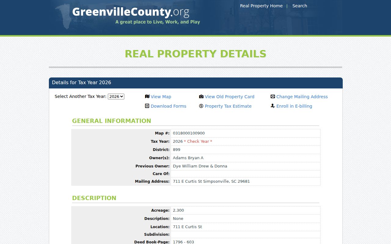
Use a sample only to understand the card layout. The facts for any address still need to be read from that address’s selected tax-year record.
Simpsonville Street GIS Parcel Selections
County GIS adds the geography that a property card cannot show. Its documented All Fields search accepts an owner name, PIN, street address, subdivision, and other terms. The Tax Parcel - Site Address Street layer supports a road-name selection, while an identify click can isolate one boundary. Predictive results may be added, removed, or made into a new selection. Map labels and available controls change over time, so save the tax-map number from the result rather than treating a live label as a lasting record.
| GIS workflow | Documented use |
|---|---|
| Street-wide selection | Use the Tax Parcel - Site Address Street layer with a road name, then review the returned parcels. |
| Adjacent parcel check | Pan or zoom from a confirmed parcel, identify the next boundary, and write down its map number. |
| Nearby features | The documented tool can select nearby features within a distance. The guide gives 100- and 250-foot examples. |
| Advanced Search | Combines a layer, field, operator, and value for a known property attribute. |
| Selection limits | Current-view selections are capped at 1,000 features and data exports at 5,000 per layer. |
Greenville County GIS is the map source for the parcel-boundary portion of a Simpsonville by-address search.
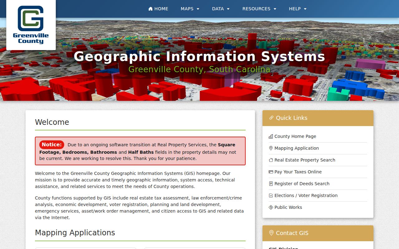
The viewer helps follow a road segment and find adjoining boundaries. Return every selected map number to Real Property Search before recording an owner or mailing field.
Simpsonville Street Deeds Across Record Eras
The Greenville County Register of Deeds connects a parcel to its recorded instrument trail. The current online route states 1985-present coverage. Search a known owner in last-name-first form, narrow to the suitable document type, and compare the legal description with the property card. A deed records a transfer. It can name a person, trust, entity, estate, or representative, so it cannot establish who is at the address now.
Earlier research uses a different handoff. Before the web cutoff, use the appropriate grantor or grantee index, obtain the book and page, and consult the book, microfilm, or counter record. All plats have their own ROD path. Historic title material reaches back to 1787, but that does not make one search screen complete for every era. A grantee is the party receiving a recorded interest; a grantor is the party transferring it. Those roles, plus the legal description, are the checks that keep two similarly named parcels from being merged.
For a road’s older address trail, the County Historical Records material and South Carolina Room microfilm can bridge the online index and early books. Keep the date and source with each name, especially where spelling or address numbering changes.
Simpsonville Street Directory Address Events
Municipal files can add a defined event to a Simpsonville address, not a household roster. The City’s Evolve public portal advertises permit and development-project searching, applications, document uploads, inspection scheduling, fee payment, and status information. Its inspected public deployment did not verify exact search fields, result columns, date coverage, or exports. Use it as an address or project route without assuming that a particular permit field will appear.
When a known permit, plan, code matter, or decision is not visible, make a focused request through the City’s NextRequest public-records channel. Give the address, the defined record type, a date span, and a permit or case number if known. The meeting archive supplies From and To controls with date, meeting, audio, video, and minutes links. Planning Commission and Board of Zoning Appeals material can connect a property location or tax-map number to an applicant or representative, but not to every person at that location.
Simpsonville’s Evolve public portal is the city source for the permit and development-project route.
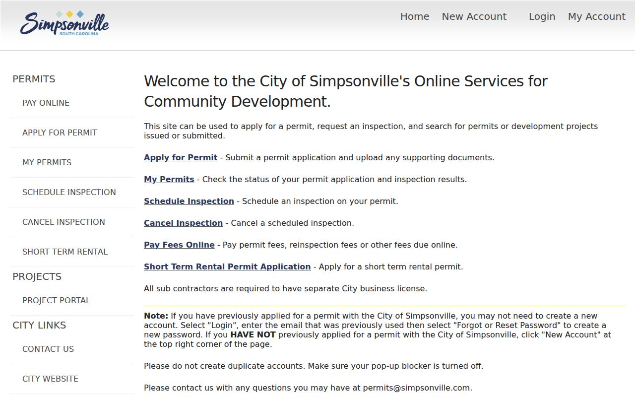
A permit screen can document a municipal property event. Pair it with the parcel and legal description before linking it to a street record.
Simpsonville Street Directory Postal Geography
Both 29680 and 29681 appear on official Simpsonville facilities. That is useful for checking a mailing label, but neither ZIP establishes municipal jurisdiction, a parcel boundary, or a current household. County systems work from a street, PIN, legal description, and tax year. A postal label works differently. Start municipal work with the actual address and confirm whether the location is inside the City’s jurisdiction before assuming that a City permit or meeting record applies.
The City’s planning resources are a practical place to check development and land-use context for a known location. They also reinforce why a Simpsonville mailing label alone is not enough to identify the responsible records custodian.
Simpsonville Planning provides the city land-use context that can accompany a specific street and parcel search.

Planning records can clarify an address-related decision or boundary question. They should not be read as evidence that an applicant or representative lives at the property.
Simpsonville Street Directory Historic Addresses
For a past household rather than a present parcel owner, the South Carolina Room is the local fallback. Its house-history guidance points researchers to property cards, deeds and plats, city directories, maps, newspapers, historic-resource surveys, and vertical files. A reverse or criss-cross directory begins with an address and can lead to an entry for one source year. The alphabetical portion and adjacent years then help test whether the same household is being followed.
The exact Simpsonville reverse-directory years were not confirmed in the inspected online sources. Ask the South Carolina Room desk for the address, year, and whether the relevant volume has a reverse section. Record the call number, year, and page, then compare that dated clue with the parcel identifier and deed trail. The historical collections themselves are described in the Simpsonville directory book.
Simpsonville Street Records by Custodian
Several records can be keyed to an address, but they answer different questions. Keep their limits visible while moving between them. The county card and GIS boundary are the core current-address sources. The ROD explains transfers and legal land descriptions. City channels document defined municipal events, and the library preserves dated historical context.
| Address-keyed source | Custodian | What it can document | Access path |
|---|---|---|---|
| Property card and assessment roll | Greenville County Real Property Services | PIN, situs, owner, mailing address, legal description, tax-year data | Selected tax-year web search; voided-card search by map number |
| Parcel GIS | Greenville County GIS | Boundary, map context, street selection, and adjacent parcels | Public viewer, then verify each PIN on the property card |
| Recorded deed or plat | Greenville County Register of Deeds | Parties, legal description, book/page or instrument, and recording date | 1985-present web route; earlier index, book, microfilm, or counter route |
| Permit, plan, or meeting item | City of Simpsonville | Defined municipal project, decision, or property reference | Evolve, meeting archive, or a narrowly defined SC FOIA request |
| Directory or map | Greenville County Library System South Carolina Room | Historical address and household evidence in a stated source year | Catalog, desk, in-library collection, maps, and microform |
| Voter information | South Carolina Election Commission | Personal registration verification or an official data-order channel | Identity-verified MySCVotes or lawful SEC process, not street browsing |
Simpsonville Street Directory Terms
County land records use terms that can look alike but do different work. Writing down the exact label from the county record makes later comparisons much safer, particularly when one address has a different correspondence address or an old directory uses another form of the road name.
- Parcel or PIN
- The county’s tax-map identifier. Greenville County documents a 13-digit no-dash form, built from sheet, block, and lot portions.
- Situs address
- The physical location of the taxed parcel. It is distinct from the correspondence address on a property card.
- Plat
- A recorded map or plan that can locate lots, blocks, and boundaries described by a deed.
- Criss-cross directory
- A reverse directory section that may begin with an address and return a dated directory entry, when that volume includes one.
Limits of a Simpsonville Street Directory
A street search cannot establish every person connected to an address. A situs field identifies the parcel location. A mailing field identifies where the county sends correspondence. An owner may be a trust, entity, estate, representative, or another documented property party. None of those fields creates a public list of everyone at the address. Public utility-account, DMV, and delivery information are not street sources, and a historical directory entry remains evidence only for its own year.
MySCVotes is also not a public street browser. Its personal login requires county, first name, last name, date of birth, and the last four digits of a Social Security number. The State Election Commission has separate official data-order procedures, with lawful-use limits, but that does not create a public block roster. South Carolina’s Address Confidentiality Program and other protected records can also explain an unavailable or substitute address field.
Lawful personal use. Use Simpsonville address records for family history, civic questions, personal documentation, or another lawful purpose. South Carolina law does not permit stalking, harassment, intimidation, or commercial solicitation from public-body personal information.