
Simpsonville ZIP Code Coverage
Official City addresses show that Simpsonville uses two postal labels: 29681 and 29680. They divide mailing geography, not municipal authority or property ownership. The city’s fire facilities provide clear local examples in both. Use the label as a starting point for a specific street address, then check the appropriate city, county, or postal source for the question at hand.
| ZIP | Local address evidence | Post office association | Directory note |
|---|---|---|---|
| 29681 | East Curtis Street, Highway 14, Jonesville Road, downtown, and other City locations | Simpsonville Post Office, 634 NE Main St. | Common City label; not a city-boundary, precinct, parcel, or identity test. |
| 29680 | Capewood Road, Neely Ferry Road, E. Standing Springs Road, and other City locations | Fairview, 677 Fairview Rd. | Southern and western service-area examples; verify each address with USPS. |
The Simpsonville Fire Department locations provide the municipal address examples behind both rows.
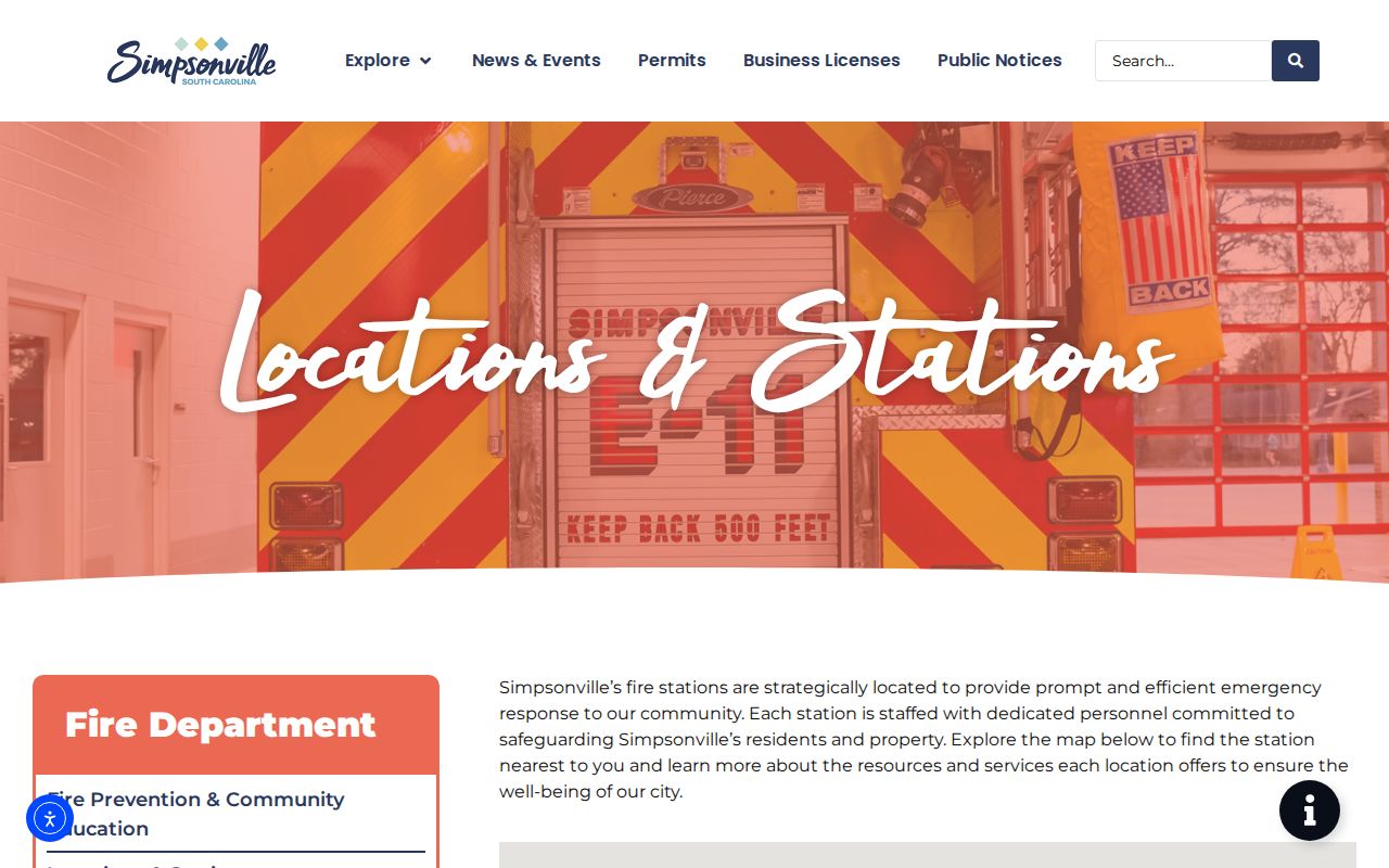
These City locations prove that both postal labels are used locally, but they do not show that every address with either label lies within city limits.
Simpsonville’s Two Postal Geographies
29681 is associated with the Simpsonville Post Office on NE Main Street and appears with East Curtis, Highway 14, Jonesville, downtown, council, and planning addresses. 29680 is associated by the USPS locator with Fairview on Fairview Road and appears with Capewood, Neely Ferry, and E. Standing Springs addresses. Those are useful location examples, not published ZIP boundary maps. No official local ZIP population total, route population, realignment year, or municipal-boundary map was identified.
That gap matters in a ZIP code directory. A map from a private mailing list, a neighborhood outline, or a search-engine result cannot fill it. The defensible local evidence is narrower: a USPS result validates one delivery address, and City facilities show that both labels occur in Simpsonville. For an address near a service or municipal edge, retain the full address and check the physical location with the agency that maintains the relevant record.
Census QuickFacts for Simpsonville offers citywide geographic context rather than a ZIP-level count.
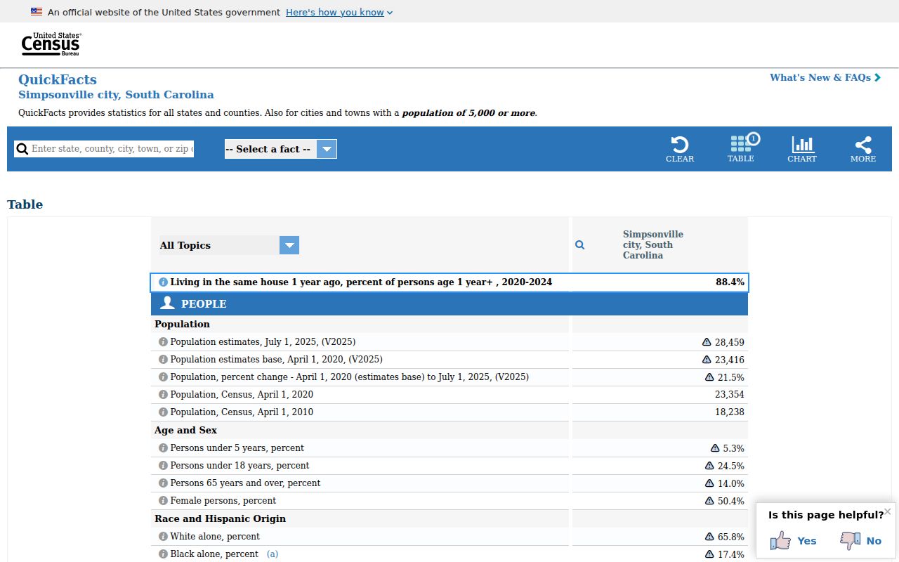
Citywide Census material cannot be divided into 29680 and 29681 without a source that specifically reports ZIP-level information.
Verify a Simpsonville ZIP Code
Use the official USPS ZIP Code Lookup before copying a ZIP into a records request or property search note. It offers ZIP by street address, ZIPs by city and state, and Cities by ZIP. For an address lookup, Street Address, City, and State are required. Company and Apt/Suite/Other are optional, and ZIP is conditional. The city-and-state form requires City and State. USPS says its result does not confirm that a person or organization is at that address.
| USPS field | Use in the lookup |
|---|---|
| Company | Optional text for the address lookup. |
| Street Address | Required for an address lookup. |
| Apt/Suite/Other | Optional unit detail. |
| City and State | Required for address and city/state searches; select South Carolina. |
| ZIP Code and Find | ZIP is conditional; Find sends the address, city/state, or ZIP query. |
USPS ZIP Code Lookup is pictured below with the address-validation path.
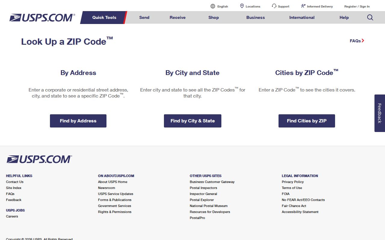
Keep the returned mailing format with the full street address, then move to a county tool using its own search key.
Use the Right County Key
A ZIP code does not replace the key used by Greenville County records. Real Property Search uses a selected tax year plus a name, street, 13-digit map number, subdivision, or sales-sheet number. It has no documented ZIP filter. The Register of Deeds uses party, instrument number, book/page, legal description, and document type criteria. It also has no ZIP criterion. GIS work uses a geographic location or parcel identifier.
Use USPS to validate postal formatting. Use the full situs address to find a property card. Carry the map number or PIN into the county GIS and parcel record. Use a legal description, book/page, or instrument number for a deed trail. This division prevents a ZIP label from being mistaken for a universal resident-search filter. Once the location narrows to a street, the Simpsonville street directory follows the address-keyed county workflow.
The county PIN has a sheet-block-lot construction, which makes it useful when a street label or subdivision search gives more than one possibility. Write down the selected tax year with the PIN. Real Property Services warns that some improvement details can lag during a software transition, so the map number, legal description, and recorded-deed reference are more dependable handoff details than a polished description field.
- ZIP and ZIP+4
- A ZIP identifies a postal delivery area. ZIP+4 adds a smaller delivery segment to improve mail sorting.
- PO Box ZIP
- A ZIP used for post-office boxes rather than proof of a street delivery location.
- Unique ZIP
- A ZIP assigned for a single organization or high-volume recipient. No local unique ZIP was verified here.
- Carrier route
- A delivery sequence used by mail carriers. It is a routing term, not a neighborhood ownership list.
Search One Simpsonville ZIP Carefully
ZIP-by-ZIP work begins with individual address validation because the county land systems do not publish a ZIP-wide people search. The usable result is a documented address and parcel trail, not a claim about everyone within a postal area.
- Enter the complete street address, City, and South Carolina in USPS ZIP Code Lookup. Record the returned postal format.
- Search the street in Greenville County Real Property Search, select the tax year, and identify the matching situs address and map number.
- Use that map number or geographic location in the county GIS, then retain the legal description if a recorded-document question follows.
- Search the Register of Deeds with the relevant party, instrument number, book/page, or legal-description key. For older material, use the county’s index-to-book route.
- For a municipal permit or jurisdiction question, check the physical location through City planning resources instead of relying on either ZIP.
A historical reverse directory, when a selected volume actually contains an address section, is also an address-and-year source. It is not a ZIP roster. Check that volume’s geographic coverage before using it for Simpsonville research.
ZIP Codes Are Not City Limits
Simpsonville is in Greenville County, but postal routing lines, municipal service boundaries, unincorporated county areas, election precincts, school or utility territories, and city mailing labels do not coincide. A 29680 or 29681 label does not decide whether a property is inside city limits, which office issued a permit, or whether a parcel falls within a particular precinct. The City fire-station examples show municipal service locations in both ZIP codes, not a boundary line.
For a City-created permit, annexation, planning, or code record, verify the physical location with City planning or the City’s forms and permits resources. For a county land question, use the assessor card and PIN. For mailing, use USPS. This three-part check preserves the distinction among postal, city, and county records.
Planning and annexation materials can connect a defined property location or tax-map number with a civic decision. They identify a municipal event, an applicant, or a property reference, not a household. The City’s public Evolve route supports permit and development-project searching, but its inspected materials did not document complete live field or result specifications. Use it as a records channel, and use a narrow City FOIA request if the needed document is not online.
Trace a Simpsonville Address Over Time
An older address may need more than a current ZIP label. The inspected sources do not publish a citywide renumbering year, ZIP realignment history, or municipal boundary map for Simpsonville. Do not assume one. Greenville County’s sheet-block-lot PIN structure is the stable local handoff among the assessor, GIS, plats, and deeds when street wording or a subdivision name changes.
The South Carolina Room house-history workflow pairs property cards and deeds with historic maps, directories, the 1923–24 Greenville Block Book, newspapers, and Sanborn materials. Compare the address, year, legal description, and map number. That record chain can explain an apparent difference without inventing a renumbering event.
Older recorded land material has its own local handoff. The ROD’s current web gateway states 1985-forward coverage, while older research can require grantor/grantee indexes, book/page references, microfilm, or deed books. Postal labels may change in a reader’s notes without changing the legal description in a deed. Follow the legal description and recorded identifier, then use maps and dated directories to interpret the address history.
Note: Preserve the exact street form, date, ZIP label, PIN, and legal description from each source so a later mismatch can be checked against the original record.
Simpsonville ZIP Code Limits
Postal data has a precise but limited job. It helps deliver mail and validate an address format. It does not prove who receives mail, who owns a parcel, who occupies a location, or whether a person appears in a city or county record. A ZIP result should never be used to create a household list or to infer a person’s living arrangement.
When a record is missing, go to the custodian that keeps that category: USPS for a mailing label, Real Property Services for an assessed parcel, the Register of Deeds for an instrument, the City for a defined municipal record, or the South Carolina Room for a historical address question. Each source describes a different part of Simpsonville’s geography.