
Official Sources for Simpsonville Neighbors
A block search works best when each source is used for its actual function. Greenville County’s property card identifies a parcel and its documented owner and correspondence field. GIS shows parcel geometry. The Register of Deeds connects legal descriptions to recorded transfers. City records can document a defined municipal event. The South Carolina Room can supply historical address context for a stated year. None is a current roster for a block, and the mailing address on a property card is not a statement that someone lives at the parcel.
| Source | What it shows about a block | Access and boundary |
|---|---|---|
| Real Property Search | PIN, situs, owner field, mailing address, and legal or subdivision reference for each parcel | Public selected-tax-year search; no household list |
| Greenville County GIS | Parcel boundaries and the spatial relationship of adjoining lots | Public viewer; confirm every map number on the official card |
| Register of Deeds | Recorded instrument parties, legal descriptions, plats, and transfer history | 1985-present online route plus older index and book paths |
| City records | A defined permit, plan, meeting item, or public-records response for an address | City jurisdiction, access rules, and redactions apply |
| South Carolina Room | Dated directories, maps, newspapers, and local-history collections | Check the source year and actual collection coverage |
| Election Commission channels | Personal voter verification or a separately ordered official data product | No public street or block browse through MySCVotes |
Use the official card and map as the current parcel pair. Historical directories and recorded instruments can add time-specific context, but neither converts a land record into evidence about everyone nearby today.
Mapping Simpsonville Neighbors from One Parcel
The adjacent-parcel method begins with one confirmed address or a 13-digit map number. It follows boundaries, not people. First, find the address in Real Property Search and copy the PIN and situs. Next, use County GIS to identify that parcel or navigate to its boundary. Pan to an immediately adjoining polygon, click it, and write down the neighboring PIN. Return each PIN to Real Property Search before noting the owner field, correspondence address, or legal description.
- Enter the known address or map number in Real Property Search and select the relevant tax year.
- Copy the 13-digit no-dash PIN, situs address, and legal description from the confirmed card.
- Search or identify the PIN in Greenville County GIS, then pan to a boundary that directly adjoins the anchor parcel.
- Record one neighboring map number at a time. A visible boundary shows geographic proximity, not a household relationship.
- Open each recorded map number in Real Property Search and compare its legal description with the GIS parcel.
- When an earlier recorded relationship matters, match that legal description to the appropriate ROD instrument before tracing the parties.
The result is a defensible parcel map for the immediate block. It does not identify who physically lives in each dwelling or associate every person with a multi-unit address. For a full named-road workflow, use the Simpsonville street directory.
Simpsonville Parcel Tool Limits
County GIS provides several documented selection paths. All Fields Search accepts an owner name, PIN, street address, subdivision, and other terms. The Tax Parcel - Site Address Street layer can select parcels by road name. Researchers can also use a dedicated address, street, or intersection tool, map navigation, parcel identify, and Advanced Search. A selected boundary needs the property-card check because map labels and live layer controls can change.
The guide also documents Select nearby features within (ft), with 100- and 250-foot examples. That is helpful for understanding a tight radius around a parcel, but it is not a people-finding tool. Current-view selections have a 1,000-feature maximum, and layer exports have a 5,000-feature maximum. The viewer may present Community Information categories, including Voter Information, yet the guide does not document a voter roster or name-and-address fields there. Do not infer those results from a category label.
Stable handoff. The sheet, block, and lot portions of Greenville County’s PIN make it the most reliable link between a property card, GIS boundary, plat, and deed when a street label changes.
Simpsonville Neighbors on a Property Card
Read the county card field by field. Situs means the location of the taxed parcel. The owner field identifies a documented real-property relationship and may name a person, co-owners, a trust, an estate, an organization, or a representative. The mailing field identifies where assessment or tax correspondence is sent. It can be the situs, a post-office box, another residence, a business address, or a third-party address. A difference between the two fields is not proof of who lives there.
Legal description and subdivision information are the stronger bridge to the map and ROD trail. Greenville County warns that its current software transition can leave square-footage, bedroom, and bathroom fields out of date. Preserve the selected tax year, map number, legal description, and recorded-deed reference instead of treating those building-detail fields as final. Tax status is also an account relationship, not a list of people associated with an address.
Simpsonville Recorded Deeds and Block History
When a parcel relationship needs a historical explanation, use the Register of Deeds record trail. The 1985-present online route supports party, instrument, book-and-page, legal-description, and document-type research. Compare the candidate instrument’s legal description, recording date, and book/page or instrument number to the property card. For an earlier transfer, work through the relevant grantor or grantee index to obtain book and page, then consult the older book, microfilm, or counter record. Plats are separately available through the ROD path.
A deed records a transfer of an interest. It does not show everyone at an address. The grantee receives the interest and the grantor transfers it. Following a former grantor as an earlier grantee can build a title sequence, but the same legal description must be checked at every step. Historic Greenville County title material reaches back to 1787, while the online current route has a later boundary, so an older name may require index-to-book research rather than another web query.
Greenville County ROD Cloud Search is the current account-based route for recorded instrument research.
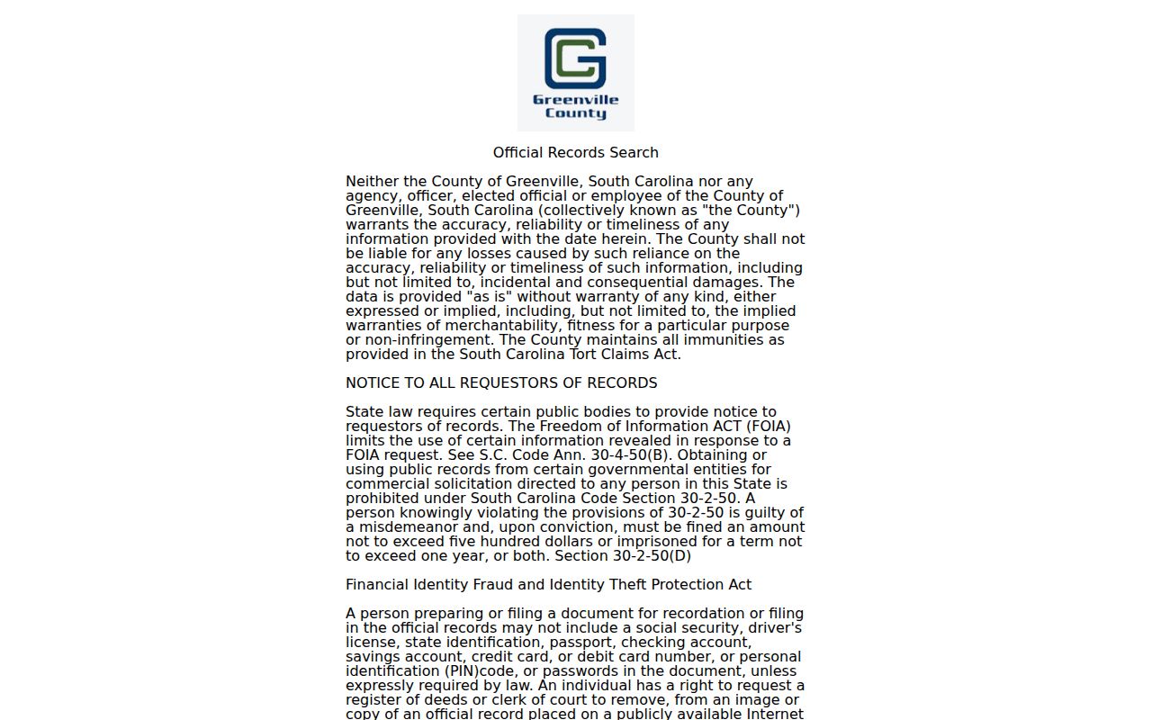
Use the ROD screen to locate and compare a particular instrument. A parcel card and the legal description remain the cross-check for the block relationship.
Simpsonville Civic Contact Around a Block
No City-maintained umbrella directory of private neighborhood associations, HOA memberships, or block-watch rosters was found in the inspected official sources. A subdivision name should not be used to infer an organization or a list of members. Public contacts can still help with a civic question when the organization has chosen to publish them, and City planning or community staff can be asked for a current neighborhood-contact referral.
| Public contact route | What it can help locate | What it cannot establish |
|---|---|---|
| City planning or community staff | A current referral for a neighborhood or civic contact, where one is available | A private association membership list or address-by-address roster |
| City boards and commissions | Public appointees and city civic activity | Private household affiliation |
| Adopt-a-Street and community programming | Voluntary public participation opportunities | Who resides along a road |
| South Carolina Room collections | Historical neighborhood, street, or organization context | A current membership record without a dated source |
The Simpsonville meetings archive lets a researcher use From and To dates and open date, meeting, audio, video, or minutes links for a known planning or annexation period.
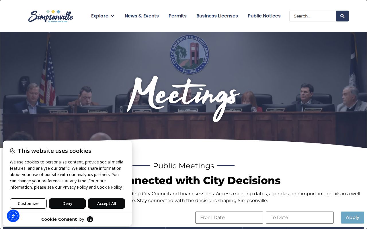
Meeting material can establish a city decision or public discussion tied to a place. It is not a source for identifying private members of a block.
Simpsonville Address Events and Requests
City records are useful when the question concerns a defined municipal event. The Forms & Permits hub collects permit acknowledgements and applications, annexation documents, zoning material, event forms, and board or commission volunteer forms. The Evolve public portal advertises permit and development-project searches, but the inspected deployment did not establish exact search fields, results, dates, or export behavior. Treat it as a route to a known address or project, not as a promise of a specific data field.
For a missing address event, use the City’s NextRequest portal or written SC FOIA form to ask for a named permit, defined address, record type, and date range. The City’s public-records process supports messages, tracking, and uploaded responses. A focused request helps the custodian find an existing record and apply any required redactions. It does not require the City to create a block list or identify a person.
Simpsonville Forms & Permits is the official starting point for city-created address-event records.
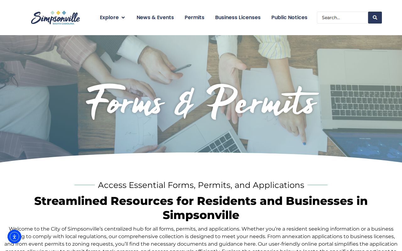
Use the city route for the defined permit or planning record at issue, then compare its property reference with the county parcel record.
Simpsonville Privacy Limits for Neighbors
Some fields near an address are protected or simply not public. Parcel maps do not name household members, delivery records, utility accounts, protected addresses, or every person using a location. MySCVotes requires county, first name, last name, date of birth, and the last four digits of a Social Security number for an identity-verified personal lookup. It has no verified public street, ZIP, radius, browse, or results-grid function. The State Election Commission’s separate data-order process must be used only within its lawful scope and never for commercial solicitation.
South Carolina’s Address Confidentiality Program gives qualifying participants a designated substitute address that state, county, city, and court agencies must accept. It can explain an absent or different public address field, but it does not erase records already public or change an identity. Beginning January 1, 2026, qualifying present or former judges and certified law-enforcement officers also have a route to request removal of home address, personal cell number, and tax-map number from public government websites. A missing web field therefore does not prove that an underlying record is absent.
The South Carolina Address Confidentiality Program explains the substitute-address protection and its official enrollment route.
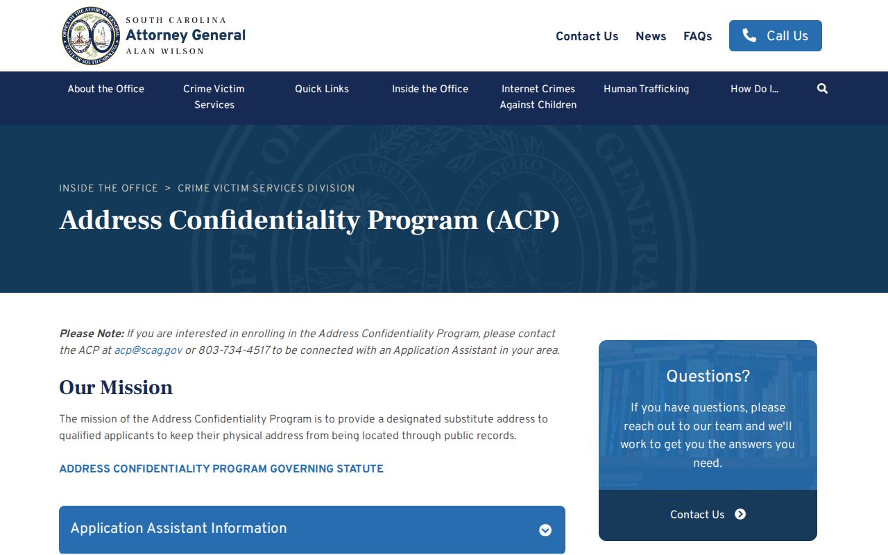
Privacy protections are part of the record context. Do not try to reconstruct a protected address from partial sources or treat a substitute address as a location clue.
Official sources preserve a custodian, date, and record purpose. Commercially compiled block products are a category that may mix old tax, directory, and other data. They can be stale, cannot replace a current primary record, and do not reveal material that is not public.
| Source type | How to read it |
|---|---|
| Official parcel and deed records | Show the stated county field or recorded instrument, with a custodian and access limits. |
| Commercially compiled block products | May combine old sources and should be checked against the county card, GIS, or ROD record. |
Lawful personal use. Use Simpsonville block records for family history, civic questions, personal documentation, or another lawful purpose. Stalking, harassment, intimidation, and commercial solicitation using public-body personal information are prohibited.